|
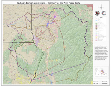

IMAGE 1-1
Nez Perce Reservation Boundaries &
Indian Claims Commission (ICC) Territory
|
|
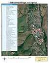
IMAGE 1-2
Nez Perce Tribal Offices, Lapwai Idaho
|
|
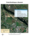
IMAGE 1-3
Nez Perce Tribal Offices, Kamiah Idaho
|
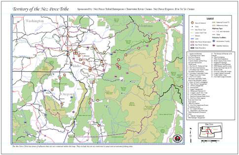
IMAGE 1-4
Scenic sites within and near the Nez Perce Tribe ICC Territory
|
|
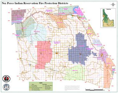
IMAGE 1-5
Nez Perce Reservation Fire Protection Districts
|
|
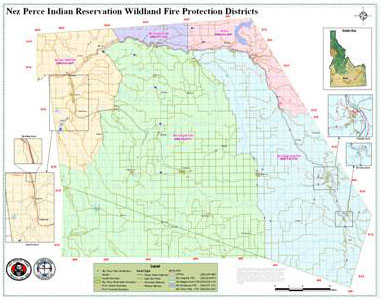
IMAGE 1-6
Nez Perce Reservation Wildland Fire Protection Districts
|
IMAGE 1-7
Nez Perce Trail - 1877 flight of the Nez Perce
|
|
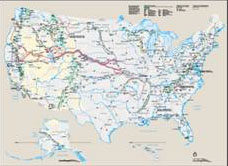
IMAGE 1-8
Historical Trails
|
|
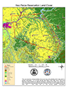
IMAGE 1-9
Nez Perce Reservation with Land Cover
|
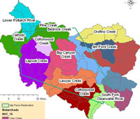
IMAGE 1-10
Watersheds within the Nez Perce Reservation
|
|
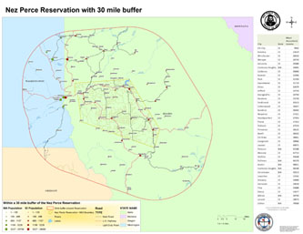
IMAGE 1-11
30 mile radius around reservation boundary with pop. and mean/avg.
income.
|
|
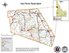
IMAGE 1-12
Nez Perce Reservation Map with Idaho as a placement map insert.
Used for grants and reports.
|
)
)
)
)
)
)
)
)
)
)
)
)